


Saint Sulpice: tour d'Hostiaz

HB01
User
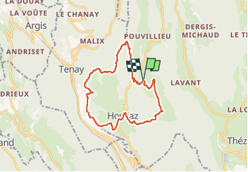

Length
15 km

Max alt
1062 m

Uphill gradient
541 m
Km-Effort
22 km

Min alt
709 m

Downhill gradient
539 m
Boucle
Yes
Creation date :
2022-10-06 07:53:48.486
Updated on :
2022-10-06 14:39:55.791
4h24
Difficulty : Medium

FREE GPS app for hiking
 SityTrail
IGN / Geographical institutes
SityTrail Plus
The world is yours!
About
Trail Walking of 15 km to be discovered at Auvergne-Rhône-Alpes, Ain, Plateau d'Hauteville. This trail is proposed by HB01.
Description
Départ de St sulpice
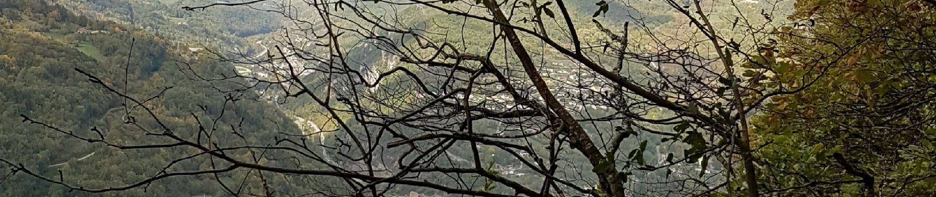
Photos

Positioning
Country:
France
Region :
Auvergne-Rhône-Alpes
Department/Province :
Ain
Municipality :
Plateau d'Hauteville
Location:
Hostiaz
Start:(Dec)
Start:(UTM)
697357 ; 5087685 (31T) N.
Comments